|
|
|
|
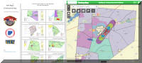
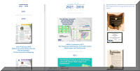
New GIS Department Web Site
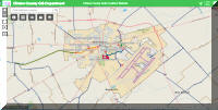
Clinton County GIS HUB |
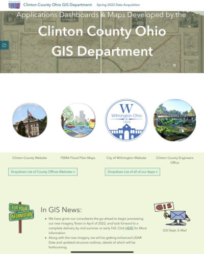 |
In an effort to keep up with current technology and internet based data
disemination, over the next few months we will be making the
Clinton County GIS Hub
the new home for the GIS Department
Website. Please be aware that a number of items will be streamlined and
re-organized at the new site, to focus more on GIS Data distribution and
use via online, interactive maps. We will offer what we always have in
the past, just in different ways and via different platforms.
--
GIS Department
<=============================
NEW HOME OF THE
GIS DEPARTMENT
WEBSITE
<=============================
|
|
|
|
|
|
|
 |
 |
 |
|
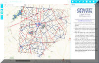
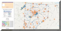
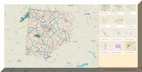
GIS Data Explorer II |
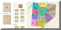
Scanned Historical Tax Maps |
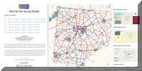
NEW Property Surveys Page |
|
|
|
|
 |
 |
 |
|
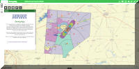
Monumentation |
Zoning App |
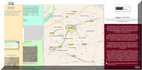
Broadband Clinton County |
|
|
|
|
 |
 |
 |
|
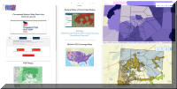
USGS |
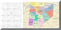
Zoning Dashboard |
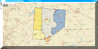
Clinton County School Districts |
|
|
|
|
 |
 |
 |
|
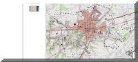
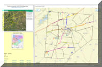
Railroad ROW Index Lines |
Voting Precincts |
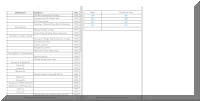
Publications |
|
|
|
|
 |
 |
 |
|
ODOT Right of Way |
Ordinances |
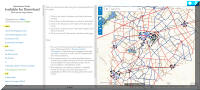
Data Downloads |
|
|
|
|
 |
 |
 |
|
CCTrails Coalition |
Nature Preserves |
Cemeteries |
|
|
|
|
|
|